Affordable lands for sale
Affordable lands for sale
Affordable lands for sale
Affordable lands for sale

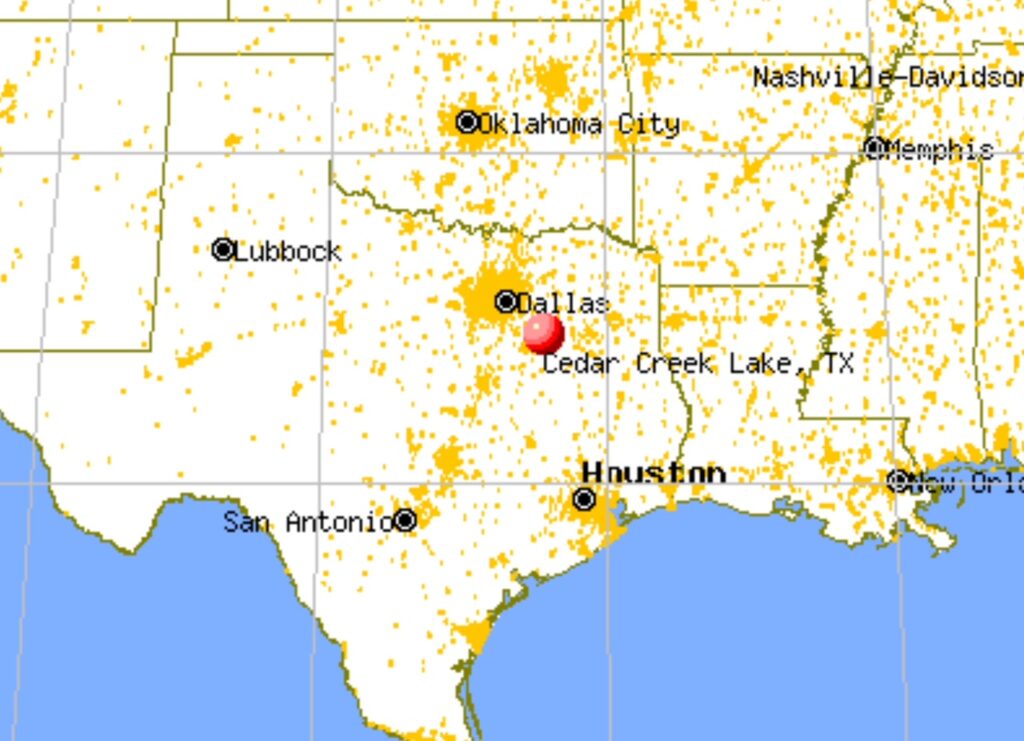
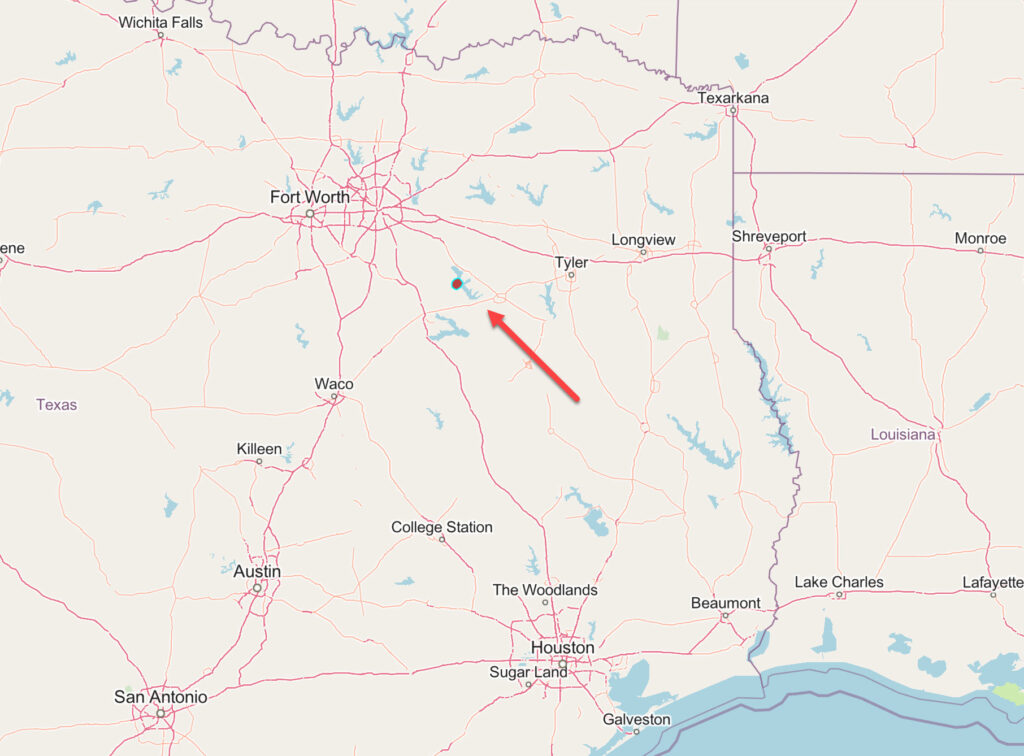
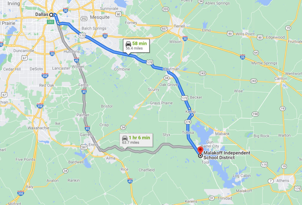
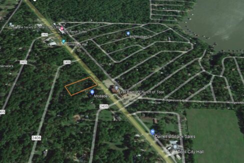
TX 274, Tool, Henderson County, Texas, United States
For Sale
$89,000.00
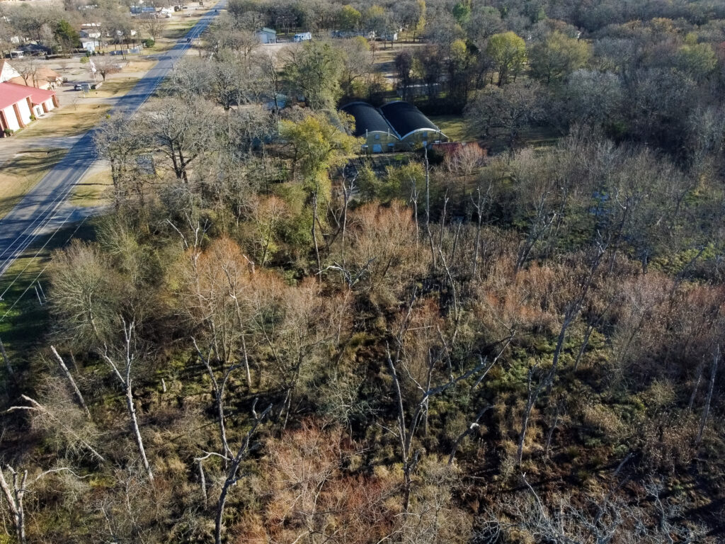
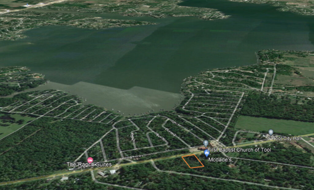


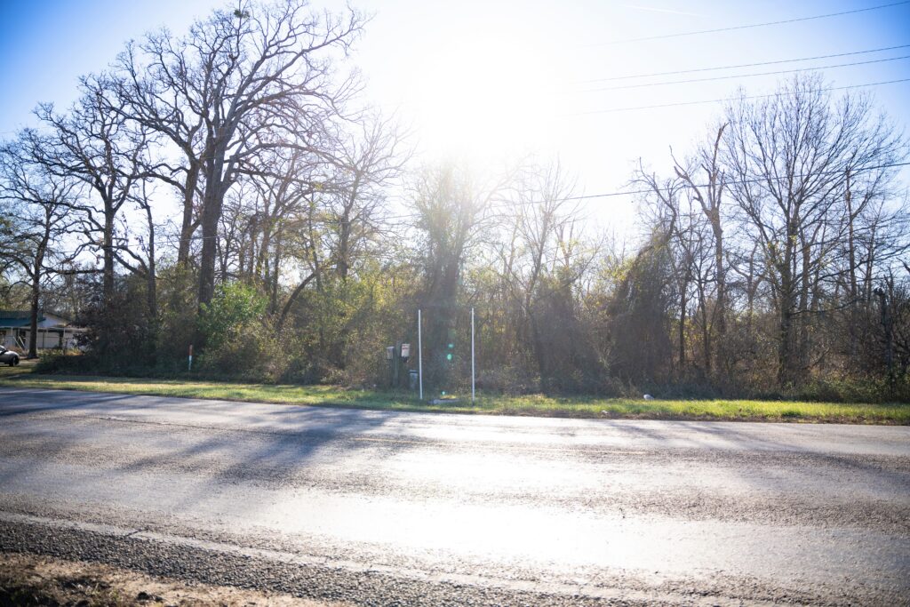
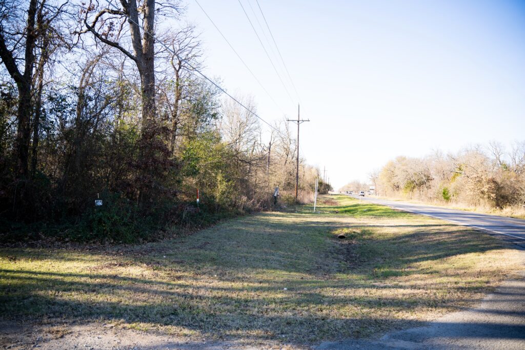

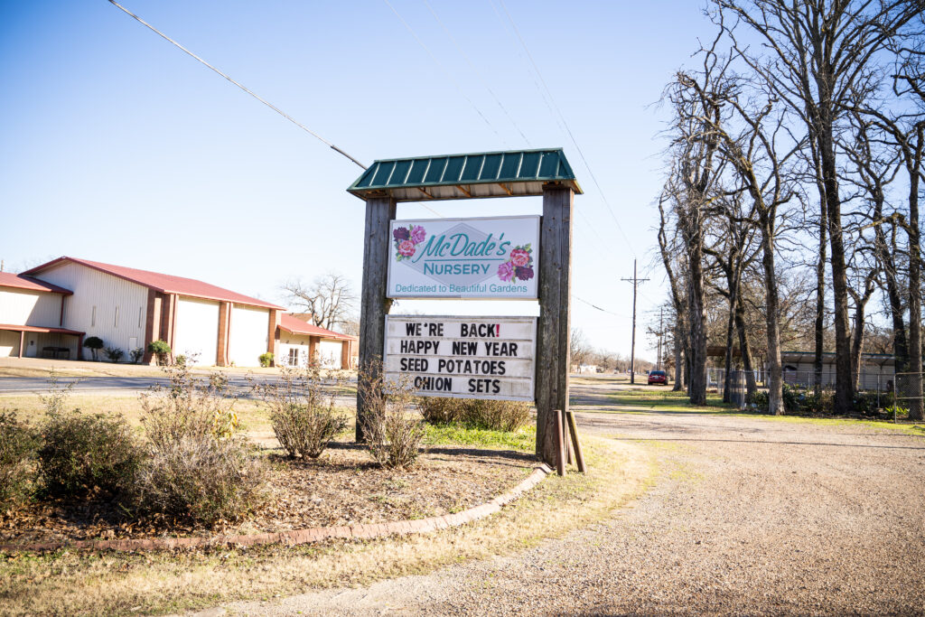

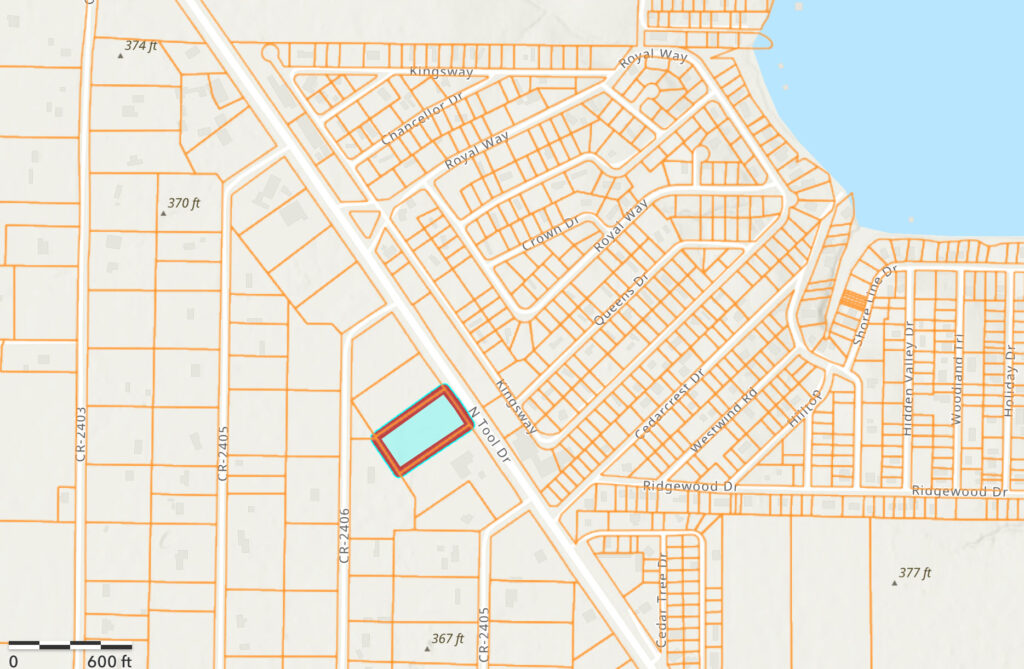

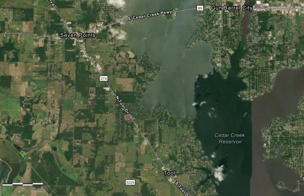
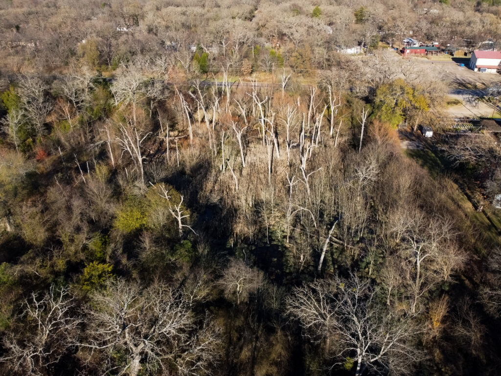
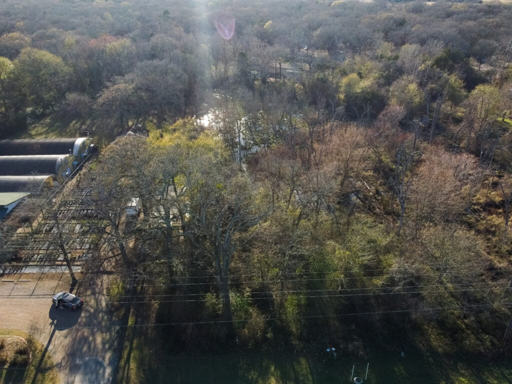

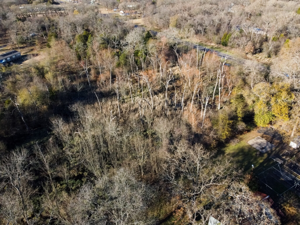
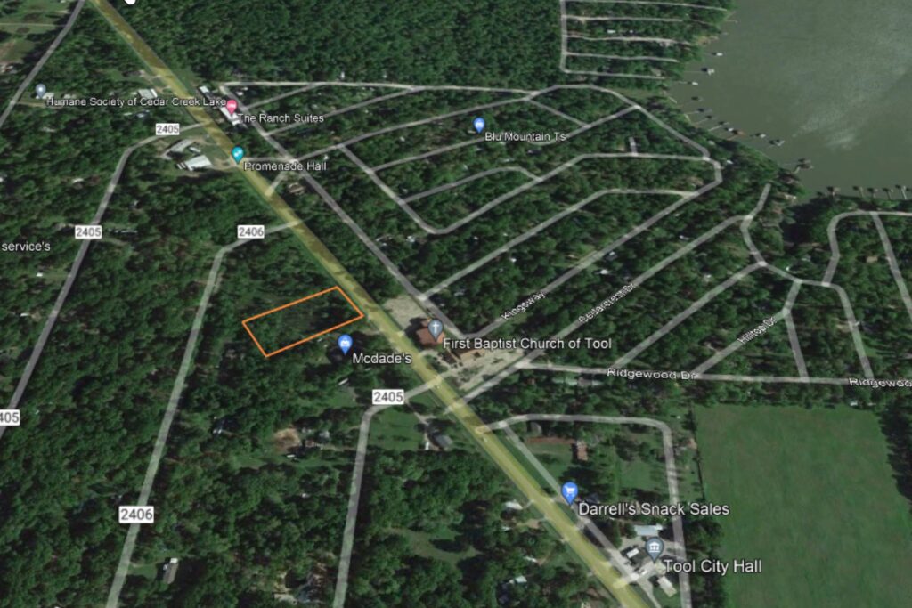
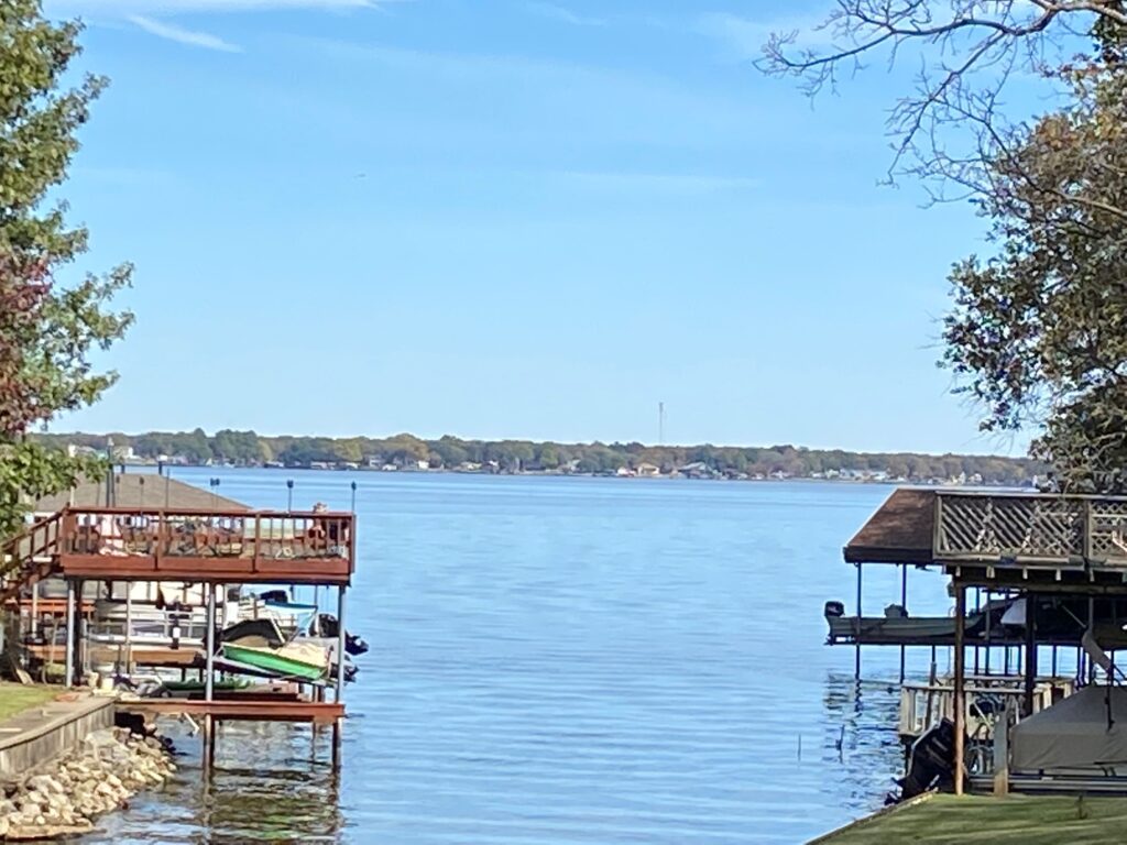
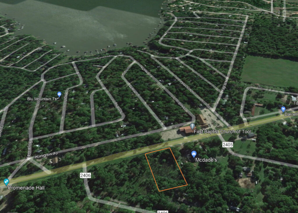
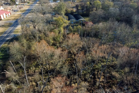
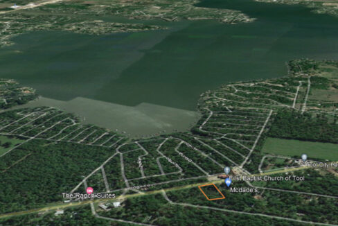
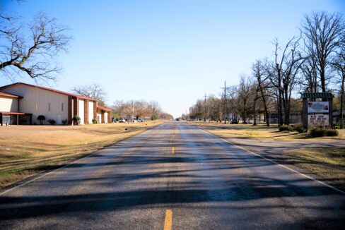
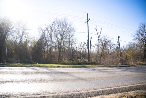
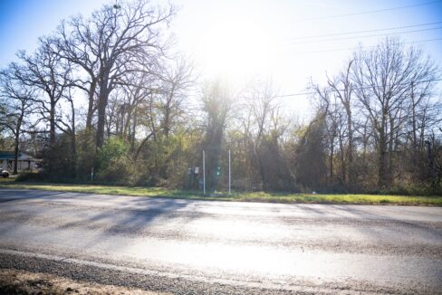

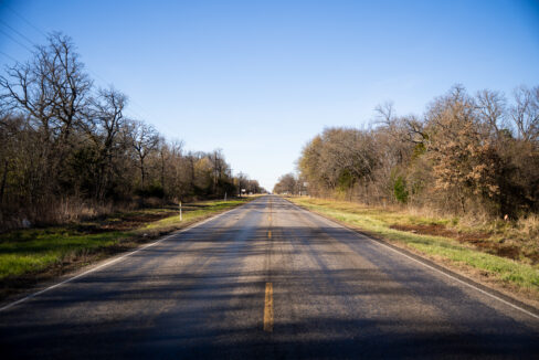
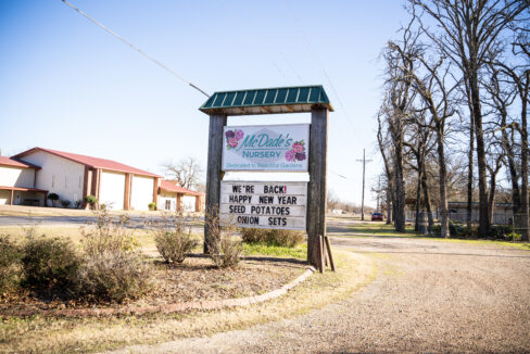
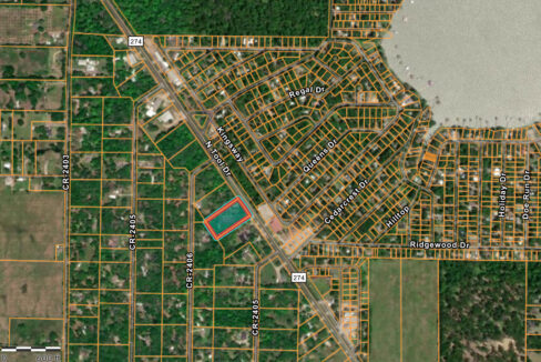
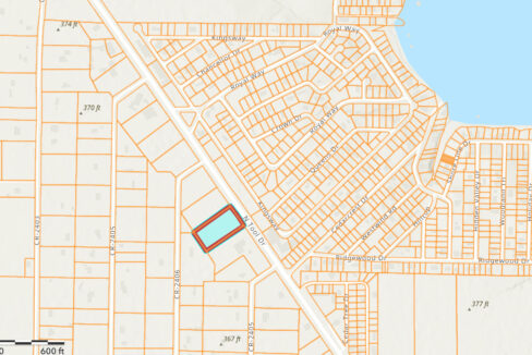
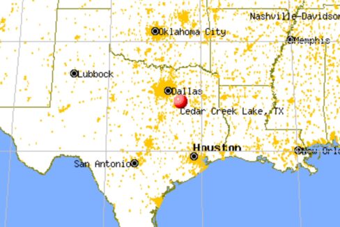
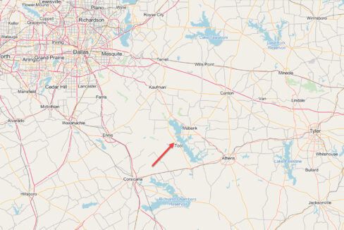
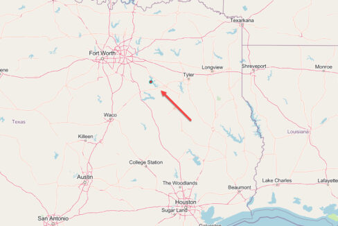
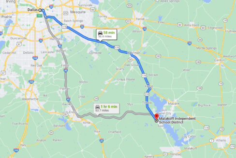
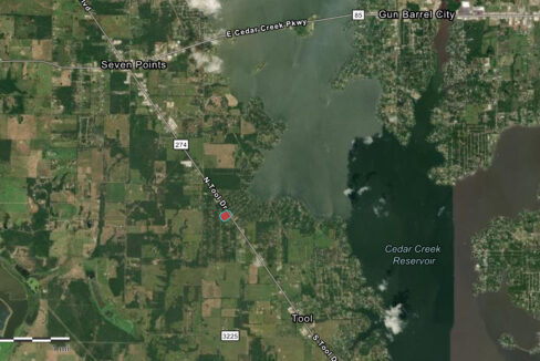
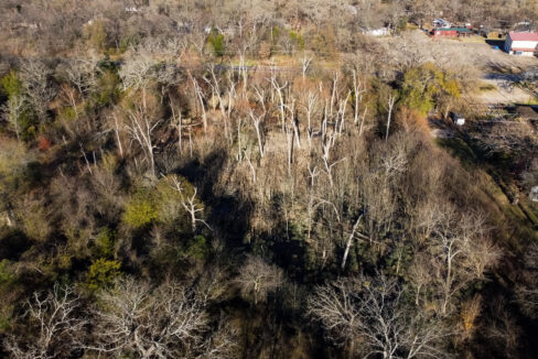
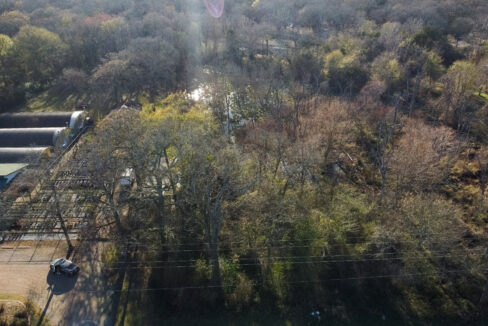

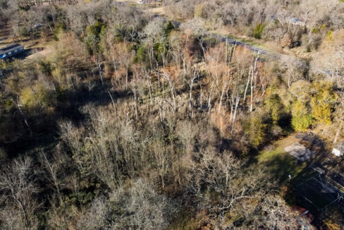
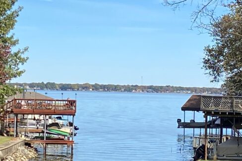
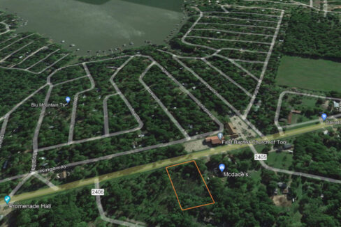

2 acres of land for your dream home to be built or a great location for possible commercial use. The lot is located just minutes away from Cedar Creek Lake for boating and fishing. It is located on the main road in Tool Texas with utilities at the property.
Buyers are to do their due diligence on city requirements for zoning restrictions, building requirements, and any other information needed to build.
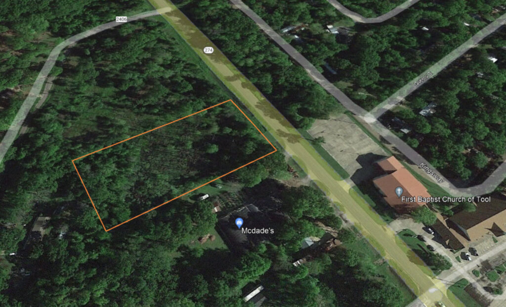
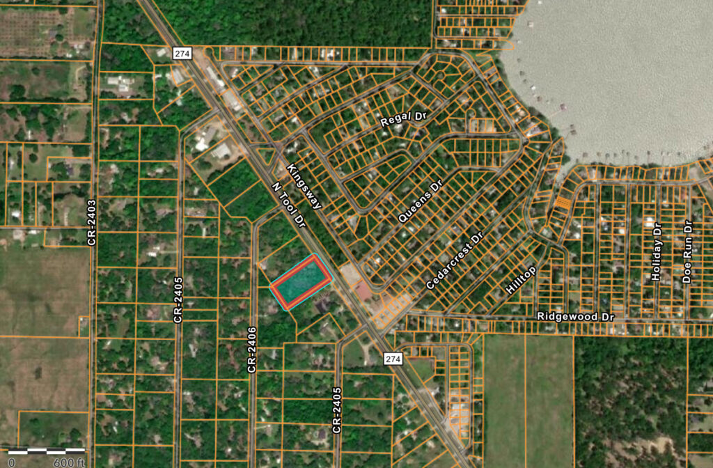
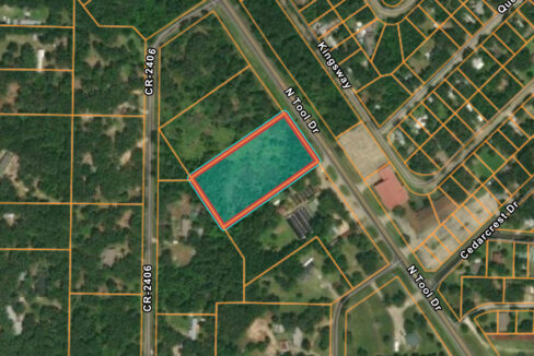
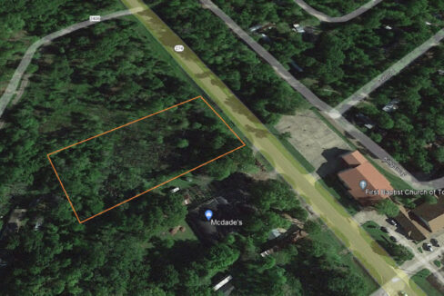
PROPERTY DETAILS
| APN / Parcel #: | 2775.0002.0030.60 |
| Account # or GEO #: | 345000100013500 |
| Property Address: | HWY 274 KEMP, TX 75143 |
| County: | Henderson |
| State: | Texas |
| Lot Number: | 3 |
| Legal Description: | LOT: LT 3 AB 360 G HANCOCK SUR FOREST ACRES BLK 2 LT 3 |
| Parcel Size: | 2 acres |
| Subdivision: | |
| HOA Dues | no |
| GPS Center Coordinates (Approximate): | 32.2921491203044,-96.1903119492582 |
| GPS Corner Coordinates (Approximate): | 32.2923851801039,-96.1905081532427 ;32.2917484151081,-96.1915981607166 ;32.291725443006,-96.1915802803021 ;32.2912612446228,-96.1912189867487 ;32.2919112708677,-96.1901187565526 ;32.2921491203044,-96.1903119492582 |
| Google map link: | https://www.google.com/maps/place/32%C2%B017’31.7%22N+96%C2%B011’25.1%22W/@32.2921536,-96.1925006,17z/data=!3m1!4b1!4m5!3m4!1s0x0:0xcdb230420d447d9b!8m2!3d32.2921491!4d-96.1903119 |
| Elevation: | 365 feet approx. |
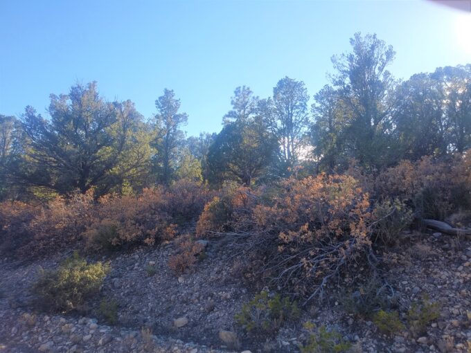
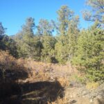
Welcome to Timberon, New Mexico, a mountain community that’s perfect…
$9,900.00
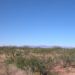 Affordable Arizona Land, Cochise County